March 30, 2013 - Breakfast at Millsville,
NJ |
|
A bunch of us Essex Skypark flyers flew to Millville Airport, NJ for
breakfast this Saturday morning. It was the kind of
flying that made all the effort, the money, the getting up early and going
out into the cold, worth it. The Back River looked like a
polished mirror as I banked over it after takeoff. Even over the
Chesapeake Bay, a ripple could hardly be seen. The
weather was absolutely perfect. The air was perfectly smooth,
you could see 50 miles in every direction, and the rising sun was still
low enough to cast a golden glow to the east.
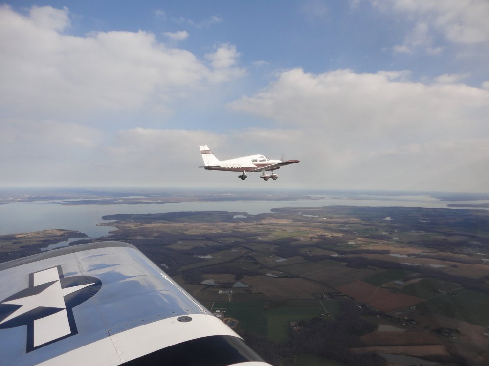
Randy had Whitey in his Cherokee so I checked them out for a
photo-op. |
|
 |
|
|
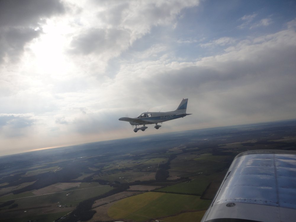
After awhile I left them and found
Brian, also in a Cherokee. Despite the phenominal visibility, it's
not that easy to find another airplane in the big sky. I knew he was
at 3500 feet so I dropped to 2500. It was easier to spot
him against the sky than the ground. I got lucky and spotted
him over the Chester River. |
|
 |
|
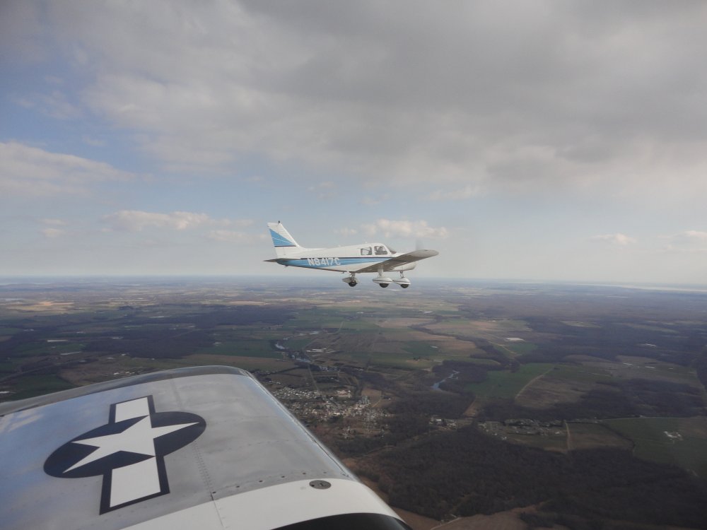
| Heading due east
to Millville. |
|
 |
|
|
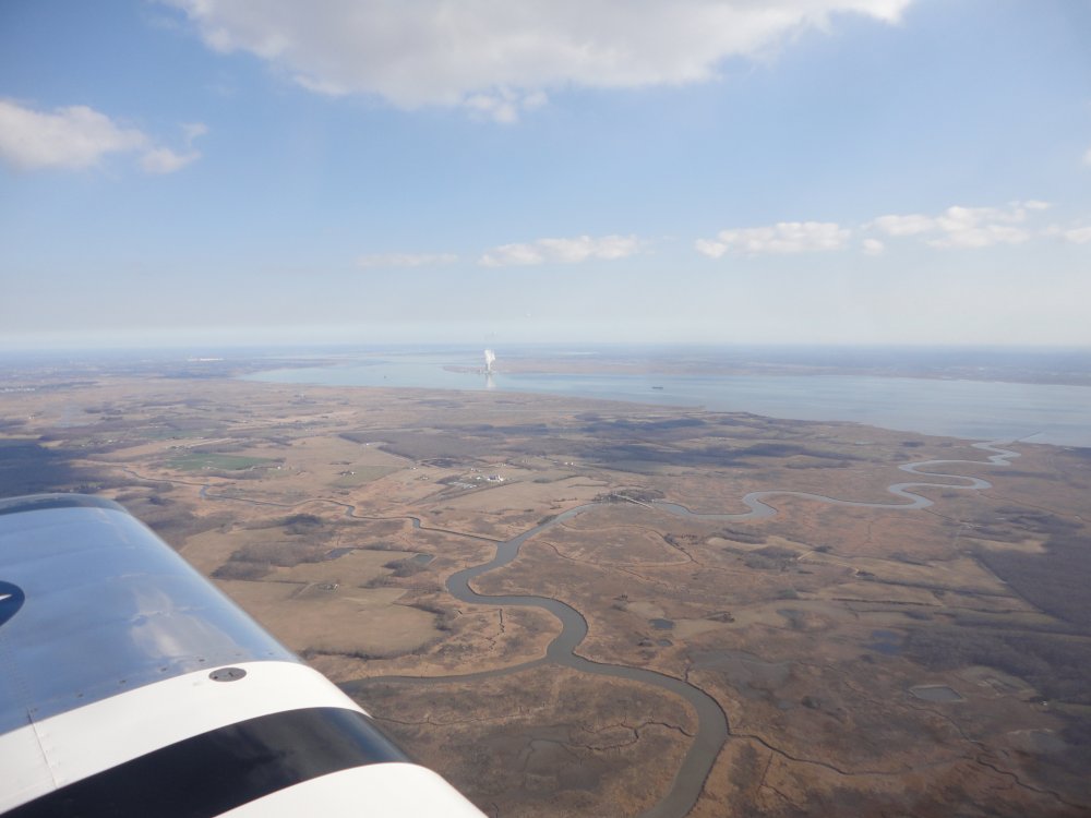
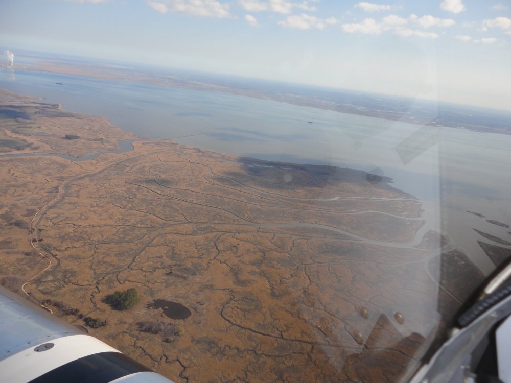
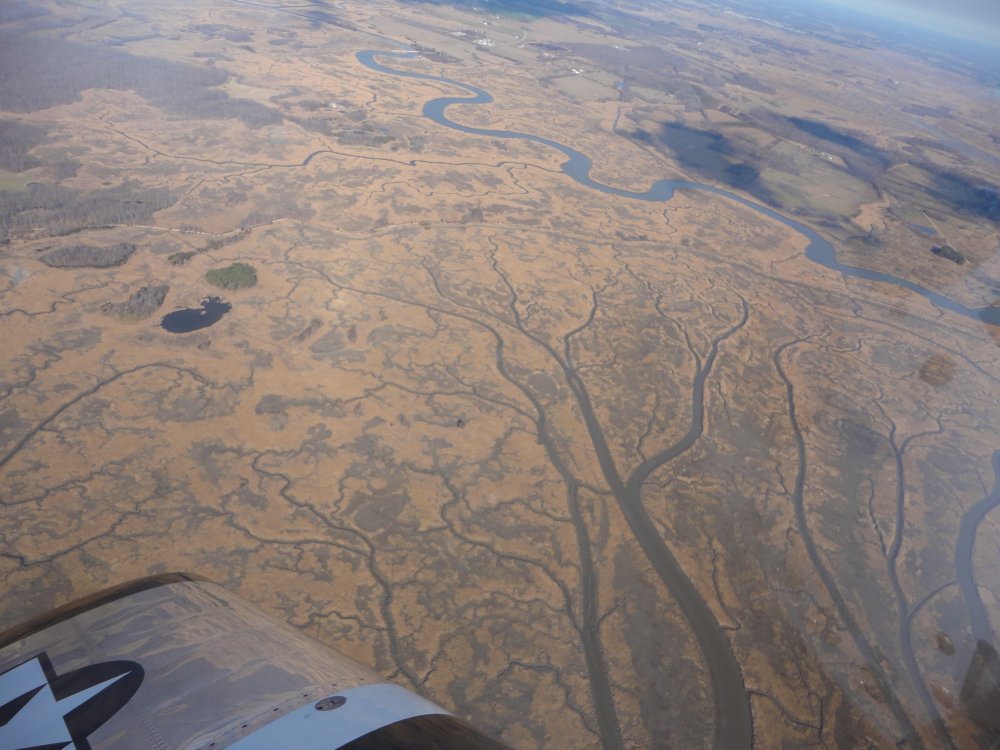
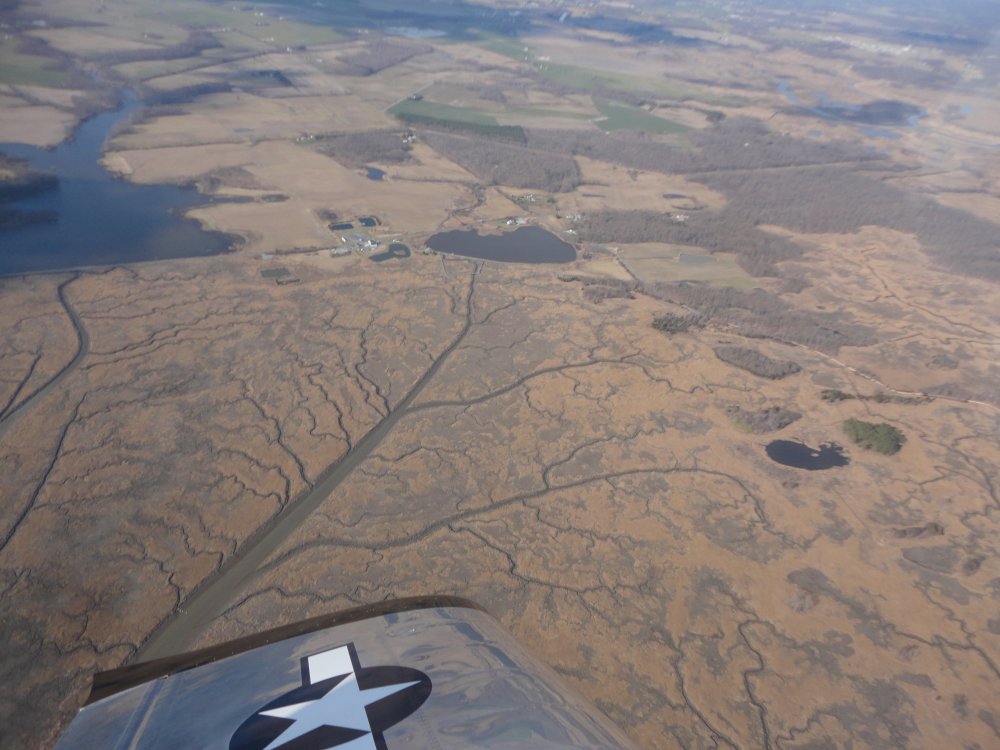
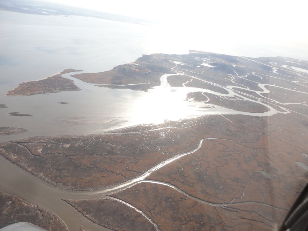
The area to the west of the Dover
River is all marshland. |
|
 |
|
| The marsh makes
for some interesting designs. |
|
 |
|
|
|
 |
|
|
|
 |
|
|
The pictures do not give what I saw
justice. Still, I post them to give you an idea. Also, it jogs
my memory and I can remember the flight. |
|
 |
|
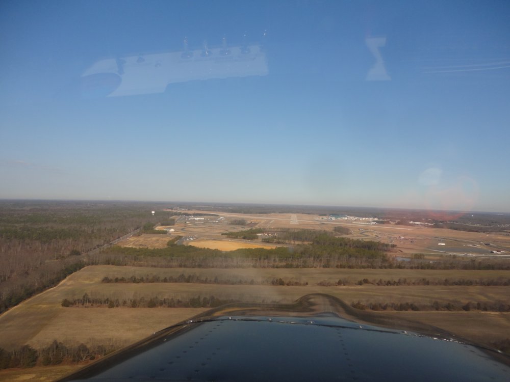
| I flew with Brian
to Millville so the flight was nice and leisurely. Throttled back, I
was only burning 5 gph. Here I am on long final to
Millville. Millville (KMIV) is a big airport, with two
long -- 6000 ft and 5000 ft -- and wide intersecting runways. It
does not have a control tower, nor do I think one is needed, since I've
never seen the airport very busy. |
|
 |
|
|
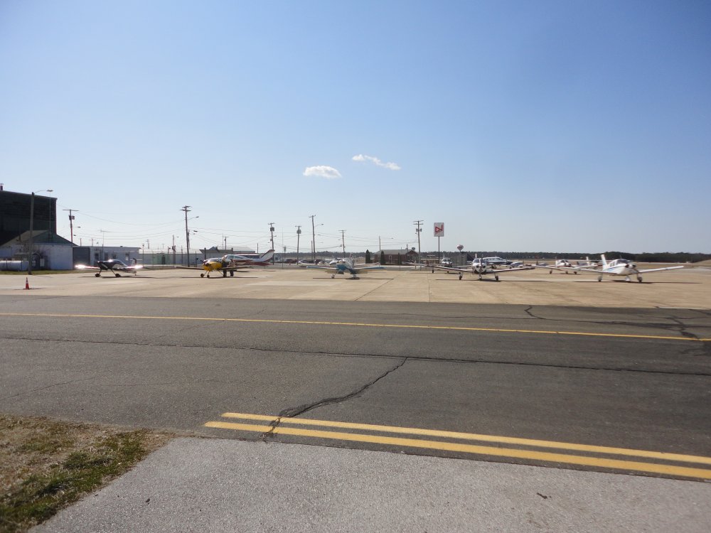
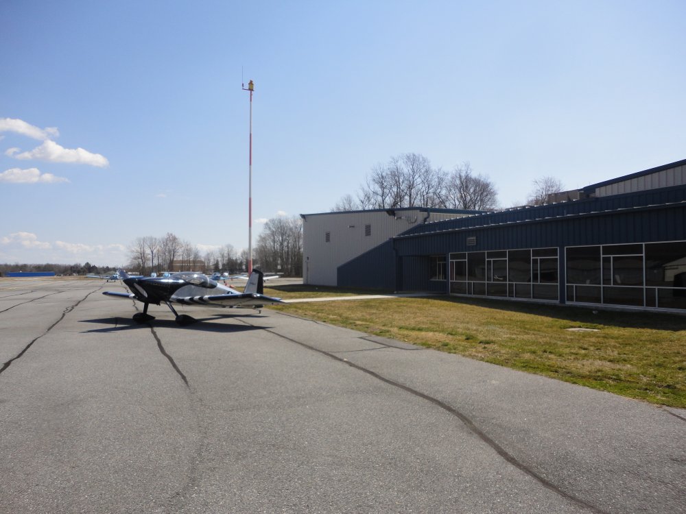
Our planes lined up on the
ramp. Left to right: my RV-7, Art's RV-6A, Mugsy's RV-8,
Randy's Cherokee and Brian's Cherokee. |
|
 |
|
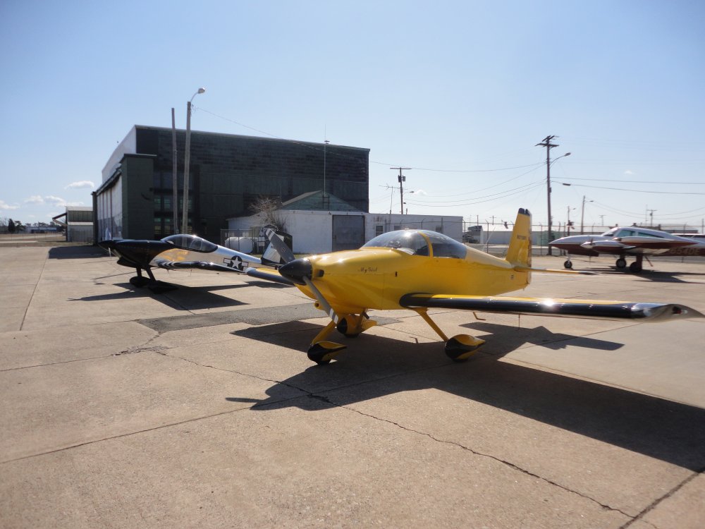
| Two RVs sparkling
in the sunlight. The sun heated things up so all I
needed was a sweatshirt, no coat. It was pleasant. |
|
 |
|
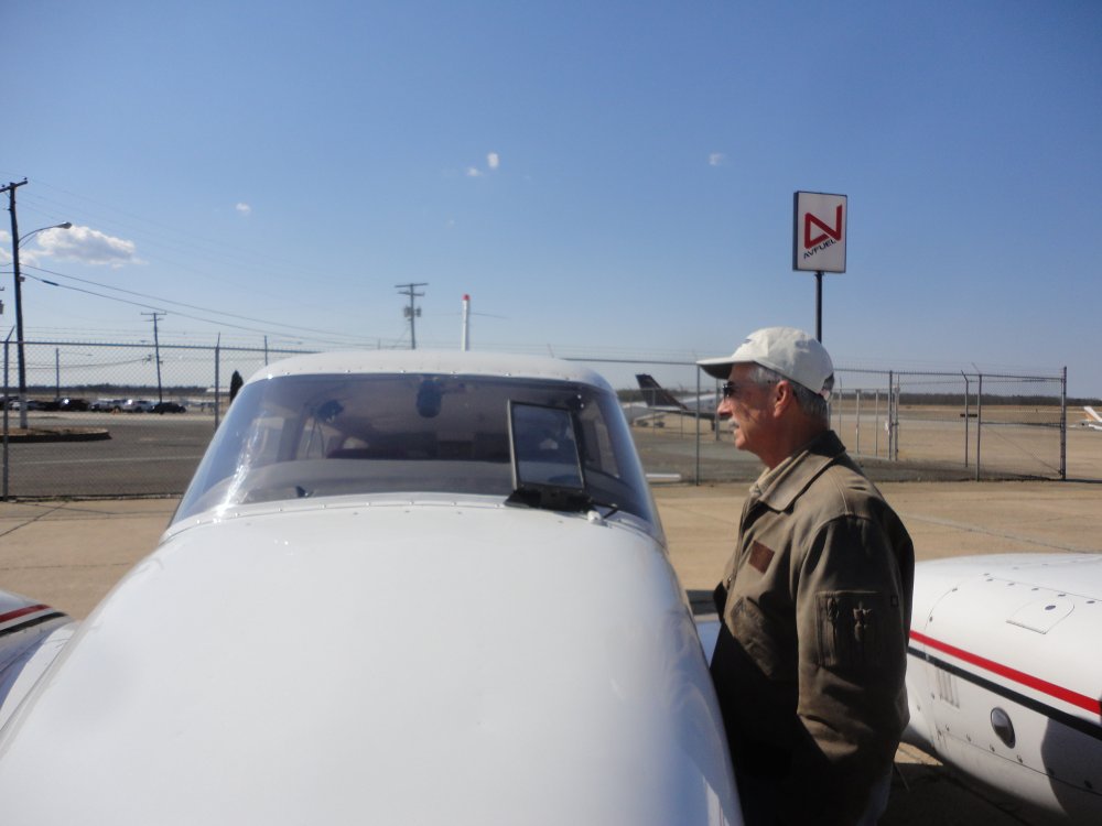
| After a good
breakfast, we checked out some of the planes on the ramp. This
device on this Piper PA-30 Twin Commanche's windshield mystified
us. Our best guess was that is was a heads-up display (HUD)
although it doesn't seem very aerodynamic. |
|
 |
|
| Mugsy and I took
off together and flew over to Delaware Airpark (33N). I landed here
once in the Citabria but it was the first time in the RV.
Their FBO building is very nice and modern, and their self-service fuel
prices are low (relatively). We chatted with the attendant who
is going to U. of Delaware majoring in aviation and hoping to be an
airline pilot someday. |
|
 |
|
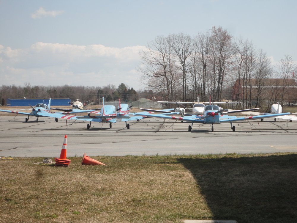
| The light blue
Cherokees belong to the U. of Delaware. |
|
 |
|
|
Mugsy and I wanted to do some formation practice, but the morning's
smooth air was long gone. Afternoon thermals had in fact made things
quite bumpy. So after leaving Delaware Airpark, we headed south
along the coast climbing all the way up to 8000 above the broken cloud
layer. The air was nice and smooth up there. We
practiced formation flying -- welded wing and echelong turns, breaks and
rejoins -- high over the Point Lewes with Cape May in the distance.
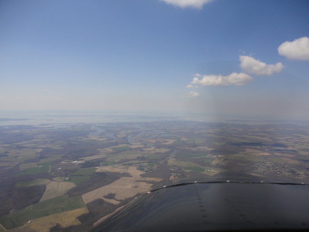
After that, we stayed high above the broken layer and headed northwest
towards home. The clouds disappeared as we arrived overhead
Easton. Mugsy spiraled down to homebase as I continued on towards
Essex Skypark.
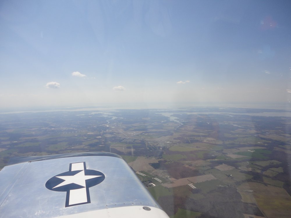
Below you can just see Easton airport off my left wing.
|
|
 |
|
|
Looking northwest with Chesapeake Bay visible in the
distance.
Three Clearview-based RVs landed at Essex Skypark just ahead of
me. We are taking over! |
|
 |
|
| |
|
|
|
|
|
|
|